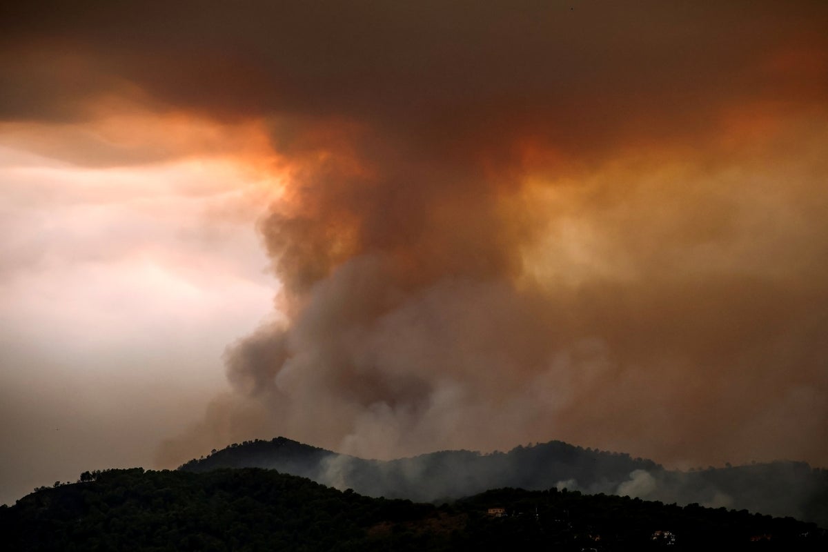
Францын баруун өмнөд бүс нутагт гарсан ойн түймрийн улмаас 250,000 гаруй иргэнийг нүүлгэн шилжүүлэх тушаал гаргаж, 42,000 гаруй га талбай шатаад байна.
Жиронд мужаас эхэлсэн түймэр Бордо хотоос долоон милийн зайд ойртсон бөгөөд эрх баригчид уг гал хэдэн сарын турш үргэлжилж болзошгүйг анхаарууллаа. Ерөнхийлөгч Эммануэль Макрон даваа гарагт Засгийн газрын гишүүдтэйгээ уулзаж хямралын нөхцөл байдлыг хэлэлцсэн боловч Бордо хотыг нүүлгэн шилжүүлэх шаардлагагүй гэж мэдэгдлээ.
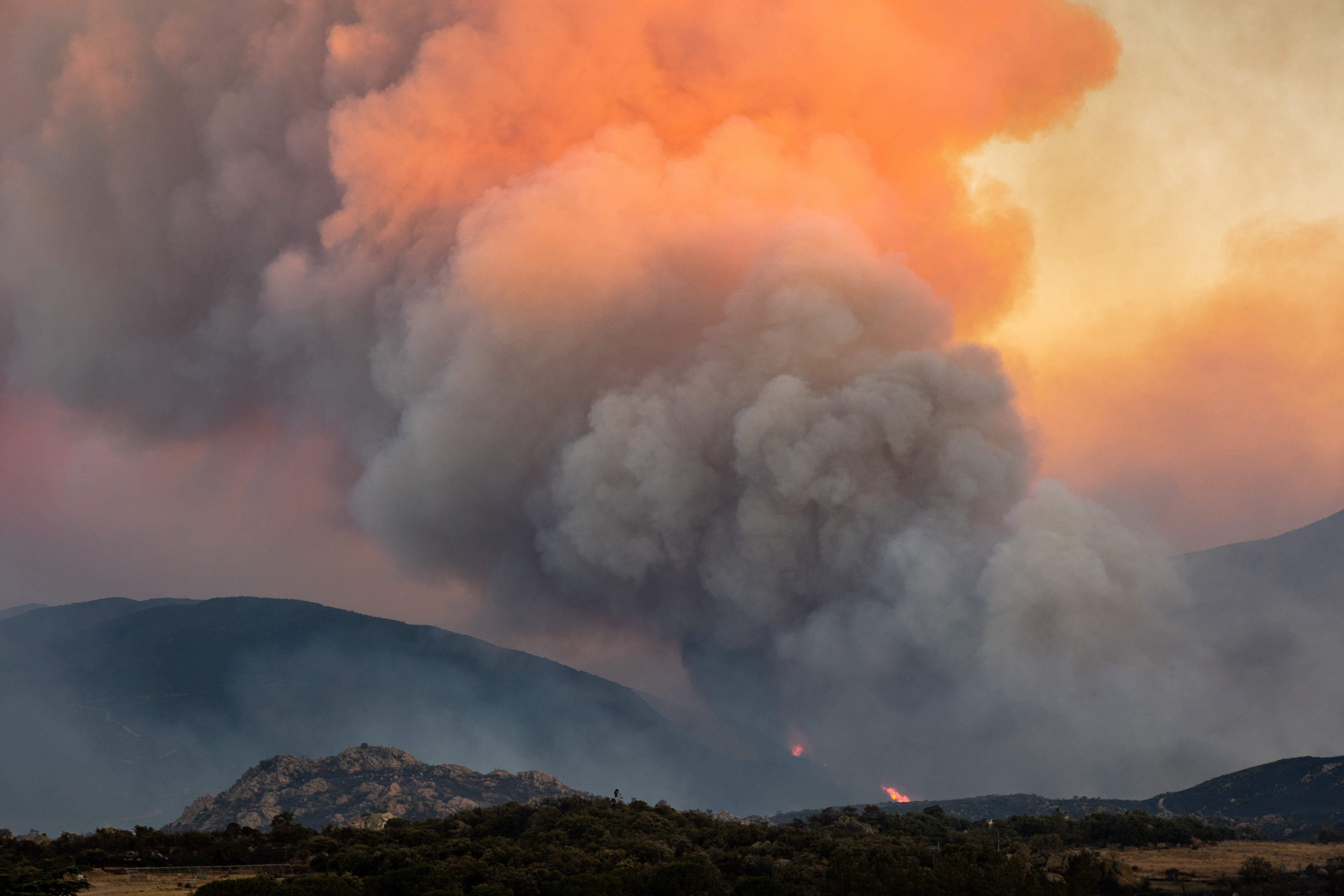
Мэргэжилтнүүдийн үзэж буйгаар, уг түймэр нь өөрийн гэсэн цаг агаарын тогтолцоог бий болгодог “пирокумулонимбус” буюу “гал түймрийн үүл”-ийн улмаас улам эрчимжиж байна. Энэхүү үзэгдэл нь галын илч, утаа, үнс нурмыг асар хурдтайгаар дээшлүүлж, улмаар агаар мандлын даралт багассанаар мөөгөн хэлбэртэй аянгат үүл үүсгэдэг аж.
Энэхүү үүл нь галын дээр тогтворгүй цаг агаар үүсгэн, хүчтэй салхи болон хуурай аянга цахилгаан дэгдээх замаар түймрийн тархалтыг хурдасгадаг байна. Францын Үндэсний гал сөнөөгчдийн холбооны төлөөлөгчийн хэлснээр, гал нь олон чиглэлд нэгэн зэрэг тархаж, фронт нь байнга өөрчлөгдөж байгаа тул шууд унтраах боломжгүй, маш хүнд нөхцөл байдал үүсээд байна.
Уур амьсгалын өөрчлөлт нь Европ даяар үргэлжилсэн ган гачиг, хэт халалтыг нэмэгдүүлж, ийм төрлийн үзэгдэл гарахад шаардлагатай хуурай түлшийг бүрдүүлж байна. Европын Коперникийн уур амьсгалын өөрчлөлтийн албанаас мэдээлснээр, уур амьсгалын төлөв байдал өөрчлөгдөхийн хэрээр “гал түймрийн үүл” нь ирээдүйд илүү түгээмэл аюул болох эрсдэлтэй гэж судлаачид анхааруулж байна.
Дэлгэрэнгүйг эх сурвалжаас харах
↓Эх сурвалжийг нээх ↓
More than 250,000 people in southwest France have been ordered to evacuate as wildfires burn across the region, scorching more than 42,000 hectares of land.
The fire, which began in Gironde on Wednesday, is just seven miles from Bordeaux as authorities warned that the blaze may continue to burn for several months.
President Emmanuel Macron met with his cabinet on Monday morning to discuss the crisis, but has said Bordeaux will not be evacuated.
Experts have warned that the blaze is being driven by a “fire cloud”, which occurs when a wildfire generates its own unique weather system.
What is a ‘fire cloud’?
Known technically as pyrocumulonimbus, or “pyroCB” clouds, “fire clouds” are a unique phenomenon where a full thunderstorm forms within a fire plume.
They begin when intense fires release enormous amounts of heat and energy, driving huge amounts of hot air, smoke, and ash rapidly upward.
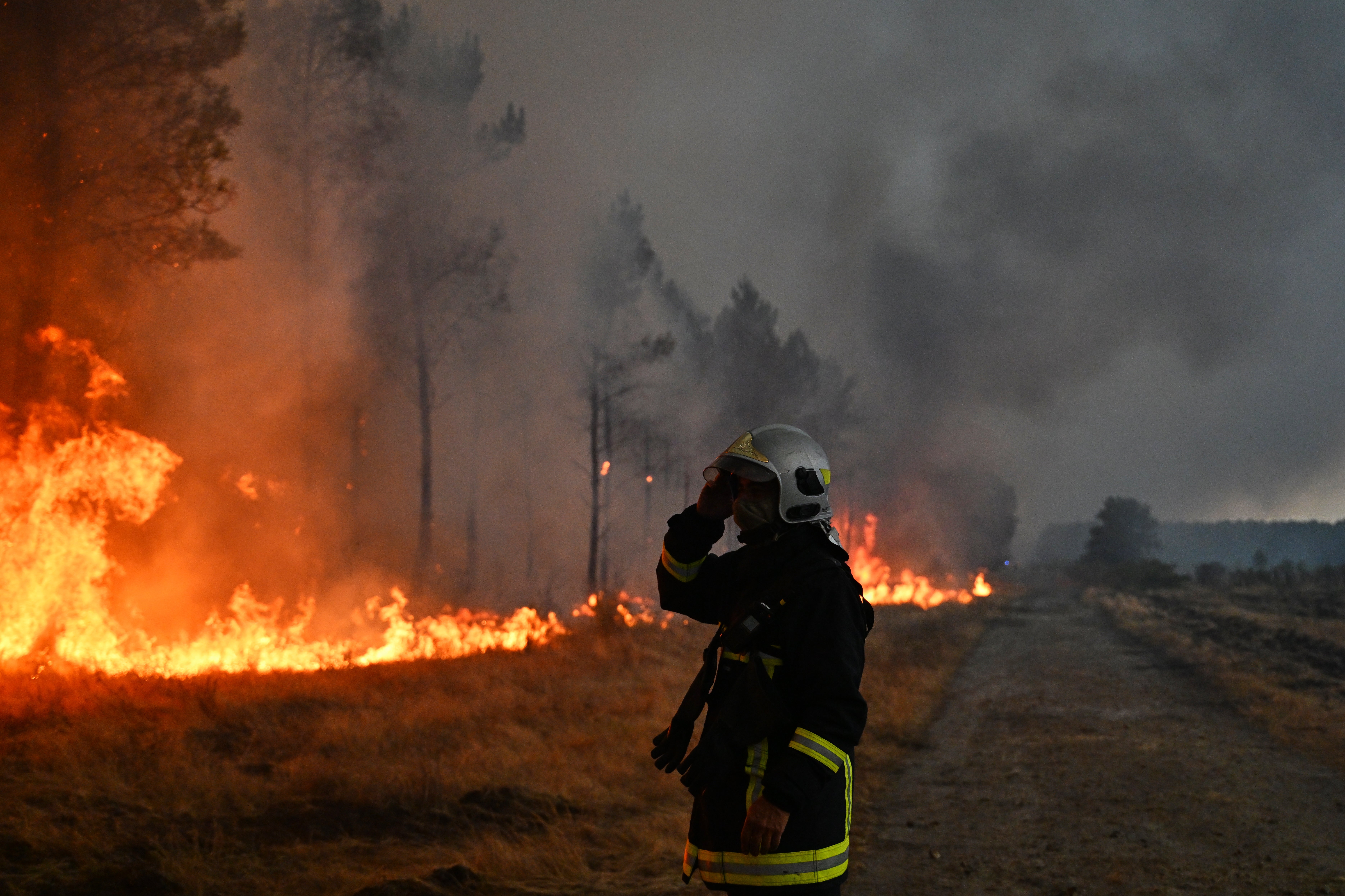
As this plume reaches high altitudes, low atmospheric pressure causes the rising air to expand and cool.
This rapid drop in temperature forces the moisture within the plume to condense into massive mushroom-shaped storm clouds.
Dubbed the “fire-breathing dragon of clouds” by NASA, these clouds can generate catastrophic conditions that accelerate the spread of further wildfires.
How is it making wildfires worse in Europe?
Fire clouds create their own volatile weather systems directly above the inferno, making conditions far more dangerous for firefighters on the ground.
The intense updrafts and downdrafts inside a pyroCB generate powerful, highly unpredictable wind gusts that can suddenly shift the direction of the flames.
These storms can also produce dry lightning, which strikes the ground in areas beyond the main fire perimeter.
This triggers fresh spot fires across parched terrain, allowing blazes to spread rapidly.
A spokesperson for France’s National Firefighters Federation (FNSPF) highlighted the unique difficulties in extinguishing fire clouds: “[It is] unlike a standard fire that spreads in a conical pattern.
“The result is that it spreads in every direction and develops multiple fire fronts. We don’t know how the blaze will spread; the fire front is constantly shifting.
“We cannot fight it directly. It’s a David-versus-Goliath scenario.”
Is climate change making these clouds more frequent?
Historically associated with extreme wildfire seasons in Australia and California, fire clouds are now appearing in regions where they were previously unheard of.
If confirmed by meteorologists, the recent event in France would mark the first time the country has officially recorded a pyroCB cloud.
Climate change is widely attributed to be behind the rise in extreme weather conditions necessary for these violent clouds to form, according to the EU Copernicus Climate Change Service.
As global temperatures increase, experts say back-to-back heatwaves and prolonged droughts across Europe have created the quantity of dry fuel needed to power such intense thermal plumes.
Climate models predict more frequent heatwaves will hit Europe in the coming years, leading scientists to warn that fire clouds will become an increasingly common threat.

