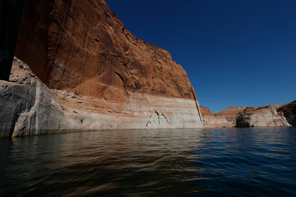
АНУ-ын Колорадо мөрнөөс тэжээгддэг хоёр том усан сангийн усны түвшин эрс багассанаар тус улсын долоон мужийн усны болон эрчим хүчний хангамжид ноцтой асуудал үүсээд байна.
Аризона болон Юта мужийн хил дээр орших Пауэлл нуурын усны түвшин ням гарагт 3,519.8 фут болж буурсан нь түүхэн дэх хамгийн доод үзүүлэлт болов. Мөн АНУ-ын хамгийн том усан сан болох Мид нуурын усны түвшин оны эхнээс хойш 23 гаруй футаар багасч, даваа гарагийн байдлаар 1,039.83 фут болж түүхэн доод цэгтээ хүрээд байна. АНУ-ын Нөхөн сэргээлтийн товчооны мэдээллээр, Колорадо мөрний усны хомсдол нь 25 гаруй жил үргэлжилж буй ган гачиг болон хүний үйл ажиллагаанаас үүдэлтэй уур амьсгалын өөрчлөлттэй шууд холбоотой юм.
Дотоод хэргийн яамнаас Аризона, Калифорни, Невада мужуудад усны нөөцийн менежментийн хатуу шинэ журам мөрдөхийг шаардаж, 2036 он хүртэл усны хэрэглээг жил бүр 3 сая акр-футаар бууруулах зорилт тавьжээ. Гэвч энэхүү төлөвлөгөө нь Аризона мужийн захирагч Кэти Хоббсын эсэргүүцэлтэй тулгараад байна. Захирагч Хоббс холбооны засгийн газрын энэхүү шийдвэр нь муж улсын эдийн засаг, тэр дундаа БНХАУ-тай хийж буй хиймэл оюун ухааны өрсөлдөөн, нийлүүлэлтийн сүлжээг дотооддоо бэхжүүлэх, хүнсний аюулгүй байдлыг хангах, пуужингийн нөөцийг нөхөн сэлбэх зэрэг стратегийн чухал зорилтуудад сөрөг нөлөө үзүүлнэ гэж мэдэгдэв.
Тус бүс нутгийн 35-40 сая оршин суугч ундны ус, хөдөө аж ахуй, загас агнуур болон усан цахилгаан станцын эрчим хүчээр Колорадо мөрнөөс хамааралтай байдаг. 2007 онд батлагдсан одоогийн гэрээ энэ намар хугацаа нь дуусгавар болох тул талууд усны нөөцийг хуваарилах шинэ зохицуулалтын талаар хэлэлцэж байна. Дотоод хэргийн сайд Даг Бургум уг шинэ тогтолцоо нь цаг уурын өөрчлөлтөд уян хатан хандах, мужуудын хооронд зөвшилцөлд хүрэх боломжийг олгоно гэж үзэж байгаа юм.
Дэлгэрэнгүйг эх сурвалжаас харах
↓Эх сурвалжийг нээх ↓
The second largest reservoir in the U.S. just hit its lowest point on record as drought continues to plague the dwindling Colorado River.
Lake Powell — located between northern Arizona and southern Utah — had fallen to 3,519.8 feet as of Sunday, according to data from the U.S. Bureau of Reclamation. On Saturday, the lake’s water level dropped down past its previous low record, which was set in April 2023, The Hill reports.
The water in the lake is 3.8 feet lower than it was a month ago, according to USBR data.
It’s not the only major reservoir facing historic depletion. The water level in Lake Mead, the largest reservoir in the U.S. and also fed by the Colorado River, has dropped more than 23 feet since the start of the year. As of Monday, its elevation is 1,039.83 feet, a record low.
Last month, the USBR projected that Lake Mead’s water level will fall below 1,110 feet by July 2028, which is nearly 120 feet below its benchmark for a “full pool,” according to the agency.
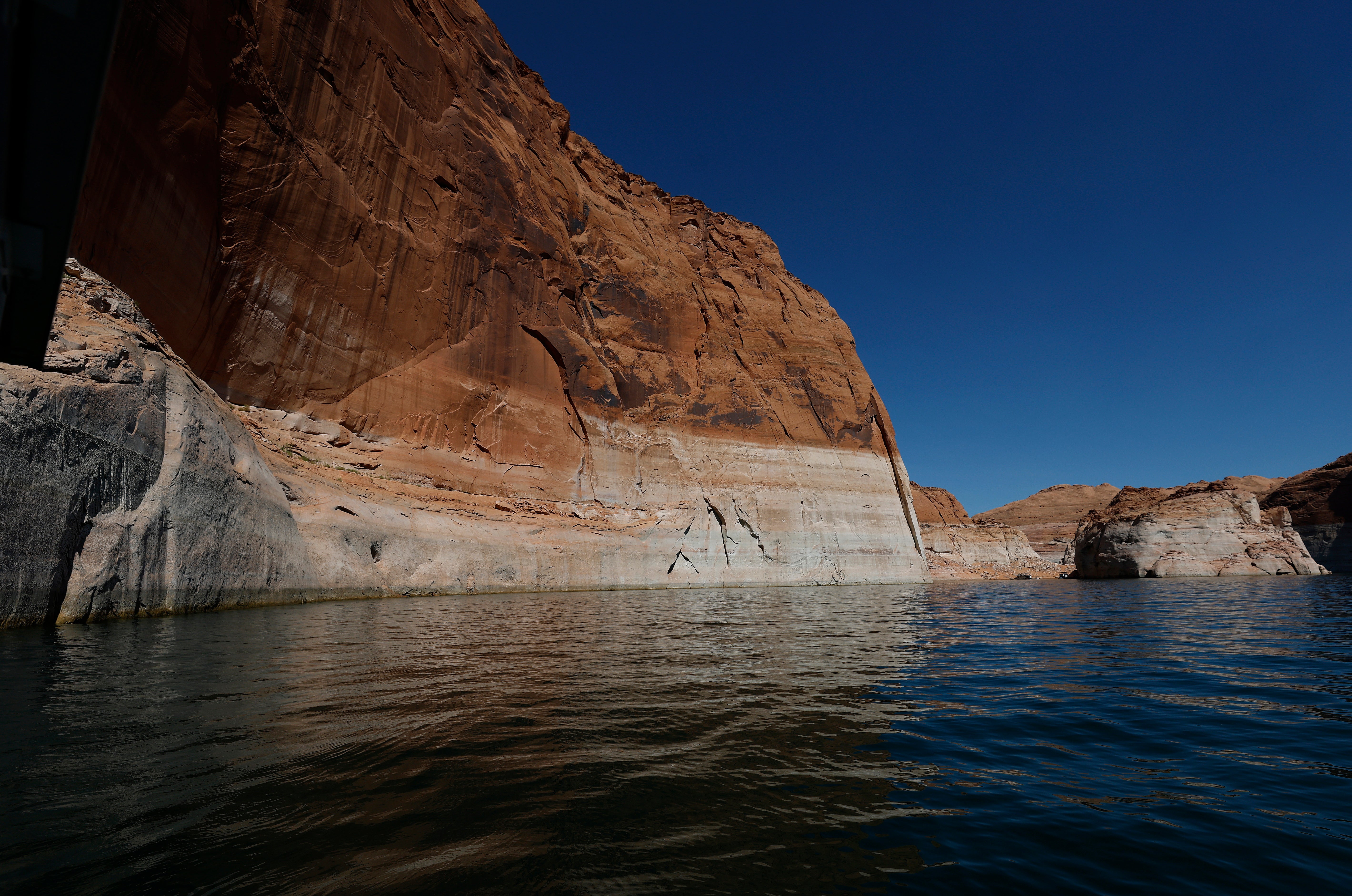
The Colorado River and the pair of reservoirs are critical for seven states — Arizona, California, Colorado, Nevada, New Mexico, Utah, and Wyoming — as all rely on it for their water supplies. That includes hydropower production, recreation, fishing, wildlife, and agriculture.
Approximately 35 to 40 million people rely on the river and the reservoirs for their water.
The depletion of the Colorado River and the bodies it feeds is not a new problem; the river has been in a drought state for more than 25 years. Human-driven climate change and heavy use have only exacerbated the issue over the years.
Last month, the Department of the Interior released an Environmental Impact Report calling for the three Lower Basin states — Arizona, California, and Nevada — to adhere to strict new water management framework. The new rules will call for a mandatory water-use reduction of 3 million acre-feet annually through 2036.
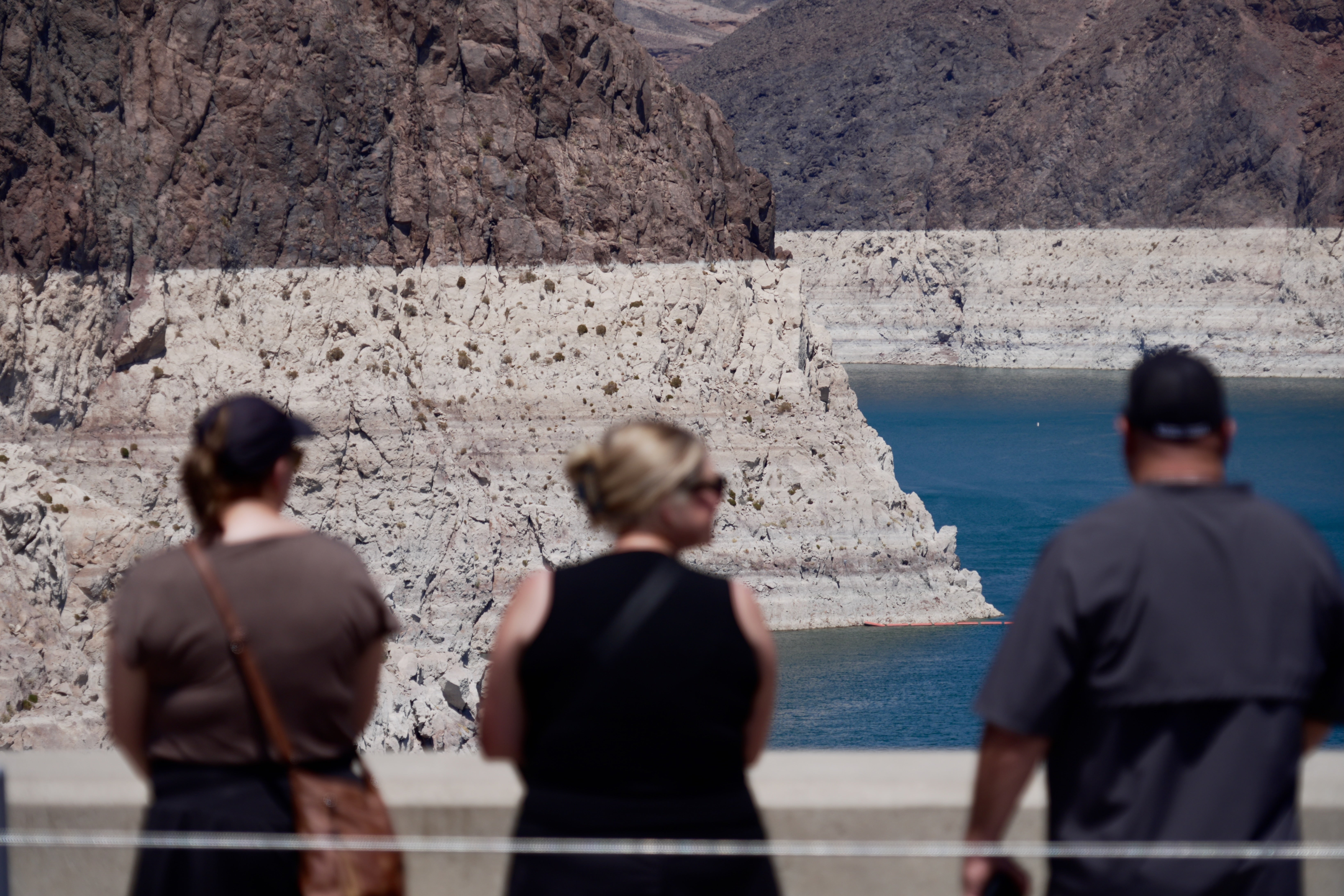
The new framework is facing opposition by some leaders from the Lower Basin states, including Arizona Governor Katie Hobbs, who said the report “contains unacceptable options that include the federal government forcing Arizona to take the majority of draconian water cutbacks.”
“Inequitable, federally imposed cuts to our Colorado River water allocation will be unacceptable to Arizonans, and will put every American at risk,” she wrote in a statement following the release of the framework. “Previous federal proposals to slash Arizona’s Colorado River water would be devastating for our nation as we work to compete with China in the AI race, onshore critical supply chains, feed the country, and rebuild our depleted missile stockpile.”
The new plan will replace a 2007 framework that expires in the fall, according to the paper.
“This framework provides the flexibility to respond to changing hydrologic conditions while preserving the opportunity for the Basin States to continue working toward durable, consensus-based solutions,” Secretary of the Interior Doug Burgum said in a press release last month.

