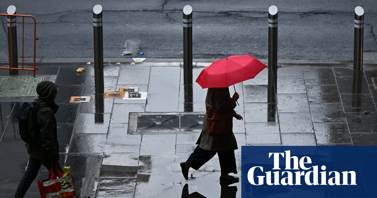
Цаг уурын байгууллага Австралийн хэд хэдэн мужийн нийслэл хотуудад аюултай үзэгдлийн сэрэмжлүүлэг зарлаж, иргэдийг сонор сэрэмжтэй байхыг анхааруулав.
Австралийн Цаг уурын товчооноос мэдээлснээр, хүйтэн агаарын фронт болон чийглэг дулаан агаар мөргөлдсөний улмаас Мельбурн хот болон Виктория мужийн зүүн хэсэгт бямба гарагийн үдээс хойш хүчтэй бороо, аянга цахилгаантай аадар бороо орох төлөвтэй байна. Энэхүү шуурганы фронт нь цаашид зүүн зүгийг чиглэн Канберра, Шинэ Өмнөд Уэльс мужийн дотоод хэсгүүд болон Квинсленд мужийн өмнөд хэсэгт хүрэх юм.
Шуурганы улмаас салхины хурд 125 км/цаг хүртэл ширүүсэж, мод унах, эд хөрөнгөд хохирол учруулах болон гэнэтийн үер буух эрсдэлтэй байгааг мэргэжилтнүүд анхааруулж байна. Бямба гарагийн өглөө Виктория мужийн зарим хэсэгт дунд зэргийн хур тунадас бүртгэгдсэн бол үдээс хойш үзэгдлийн эрчим нэмэгдэх төлөвтэй байна.
Ням гарагт шуурганы төв цэг Брисбэн хот болон түүний орчмын бүс нутаг руу шилжих бөгөөд Шинэ Өмнөд Уэльсийн хойд эрэг, Хантер бүс нутагт том хэмжээний мөндөр орох, үерлэх аюултай байна. Сүүлийн хоёр долоо хоногийн хугацаанд хур тунадас ихтэй байсан бүс нутгуудад гэнэтийн үер буух эрсдэл өндөр байгаа тул иргэдийг цаг агаарын радарын мэдээллийг тогтмол хянахыг зөвлөж байна.
skip past newsletter promotion
after newsletter promotion
Дэлгэрэнгүйг эх сурвалжаас харах
↓Эх сурвалжийг нээх ↓
Storm warnings are in place for multiple capital cities across Australia’s east and south-east as a severe weather front sweeps across the country.
Heavy rain, winds and thunderstorms are forecast to hit Melbourne and eastern Victoria throughout Saturday afternoon as a cold front meets warm, humid air.
The storm front is then expected to travel further east, impacting Canberra and inland NSW before reaching the east coast on Sunday, stretching as far as southern Queensland.
The Bureau of Meteorology warned of possible flash flooding in some areas and potentially destructive winds of over 125km/h that could bring down large trees or damage property.
Melbourne and parts of Victoria recorded moderate rainfall and some lightning on Saturday morning, with a more intense band of thunderstorms forecast into the afternoon.
“It’s this follow-up band of storms which could pack a punch,” BoM meteorologist Angus Hines said on Saturday.
The storms are expected to impact Melbourne, parts of Gippsland, the north-eastern ranges, and north-central Victoria, with damaging winds the greatest risk.
The risk area will extend further north through inland NSW into the evening – up to Queensland’s southern interior and along the NSW coast south of Sydney around Wollongong and the Illawarra.
The forecast in these areas includes possible damaging winds, heavy rainfall and large hailstones.
“Expecting some very active storms here a little bit later on in the day, mid to late afternoon for many of these areas, and potentially not until the evening hours by the time we’re looking at storms getting out towards the east coast,” Hines said.
The focus of concern will shift further north on Sunday, with heavy rain and storms around Brisbane during the afternoon and early evening.
after newsletter promotion
Severe thunderstorms were most likely for parts of the NSW mid-north coast, the northern rivers, parts of the tablelands and the Hunter region, with possible hail, heavy rainfall, flash flooding and destructive winds of more than 125km/h.
Areas that had recorded heightened rainfall in the past fortnight were also at risk of flash flooding, Hines said.
“If you do live through this area, tomorrow is definitely a day you’ll want to keep a watch on the radar to see if any big storms are headed your way,” he said.
A broader area of potential concern for Sunday stretches from Newcastle, north of Sydney, up to Gympie on the Sunshine Coast.
A severe wind warning is also in place across the mountains of northern Victoria and southern NSW, with wind gusts of more than 100km/h recorded on Saturday morning.