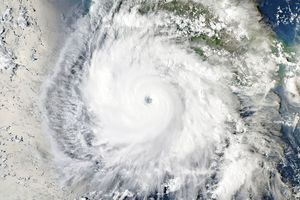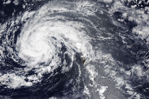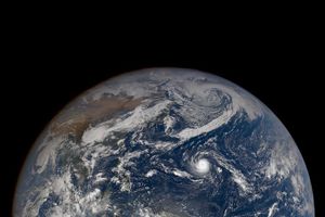
Эль-Ниньо үзэгдлийн нөлөөгөөр Номхон далайн баруун өмнөд бүсэд сүүлийн хэдэн арван жилд тохиолдоогүй хүчтэй халуун орны циклон ажиглагдлаа.
2026 оны 11 дүгээр сарын 15-нд Фижи улсын Цаг уурын алба Самоа болон Күүкийн арлуудын зүүн хойд зүгт аажим хөдөлгөөнтэй халуун орны эмгэг бүс үүссэн тухай анх мэдээлсэн байна. Уг систем хэдхэн хоногийн дотор эрчимжиж, Хавьер нэртэй хүчтэй циклон болон хувирчээ. Энэ нь тус бүс нутагт 11 дүгээр сард бүртгэгдсэн хамгийн хүчтэй циклонуудын нэг болсон байна.
Хавьер циклон нь салхины бага зүтгэлт хүч болон 29°C хэм хүртэл халсан далайн гадаргуугийн тохиромжтой орчинд хурдацтай эрчимжсэн байна. НАСА-гийн хиймэл дагуулын мэдээллээр, тус шуурга нь Өмнөд Америкийн баруун эргээс төв Номхон далай хүртэл үргэлжилсэн дулаан усны асар том урсгалын дагуу хөдөлж байсан нь 6 дугаар сараас хойш үргэлжилж буй Эль-Ниньо үзэгдлийн нөлөөг харуулж байна.
11 дүгээр сарын 17-ны байдлаар Хавьер циклоны салхины хурд цагт 195 км-т хүрч, улмаар 220 км/цаг хүртэл эрчимжсэн нь бүс нутгийн хэмжээнд 5 дугаар зэрэглэлийн буюу Саффир-Симпсоны хуваариар 4 дүгээр зэрэглэлийн шуурганд тооцогдож байв. Колорадогийн их сургуулийн шинжээч Фил Клотцбакийн тэмдэглэснээр, энэ нь олон улсын болзлын шугамаас зүүн зүгт 11 дүгээр сард бүртгэгдсэн хамгийн хүчтэй циклон юм.
Күүкийн арлуудын хойд хэсгээр дайран өнгөрөхдөө Хавьер циклон байшин барилгад хохирол учруулж, цахилгаан хангамжийг тасалдуулжээ. Хожим нь хуурай агаар болон салхины таагүй нөхцөлтэй тулгарч, баруун тийш хөдлөх явцдаа аажмаар суларсан нь Самоа болон Америкийн Самоа улсуудад учирч болох аюулыг бууруулсан байна. Фижи улсын Цаг уурын албанаас энэ улиралд 11-15 нэрлэсэн циклон үүсэж болзошгүйг урьдчилан таамаглаж байгаа бөгөөд шуурганы идэвхжил ихэвчлэн 2 дугаар сард оргилдоо хүрдэг байна.
Дэлгэрэнгүйг эх сурвалжаас харах
Эх сурвалжийг нээх ↓
Even as the unusually quiet 2026 storm season winds down in the North Atlantic, seas have begun to stir on the other side of the world in the Southwest Pacific. On November 15, 2026, the Fiji Meteorological Service began issuing updates about a slow-moving tropical disturbance northeast of Samoa and the Cook Islands. Within just a few days, it had become one of the most intense November tropical cyclones the region has seen in decades.
Named Xavier, the system intensified rapidly, thriving in an environment with minimal wind shear and sea surface temperatures of 29 degrees Celsius (84 degrees Fahrenheit)—well above the threshold required to sustain and strengthen developing tropical cyclones. Xavier was the basin’s second named storm of the season, following only Wati, a short-lived storm that emerged in October.
As Xavier developed, NASA satellite data showed the storm churning along the southwestern edge of a massive tongue of warm water spanning from the west coast of South America to the central Pacific—a telltale sign of the El Niño that has been present in the region since June.
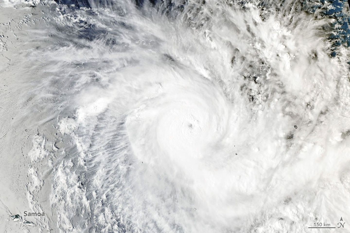
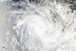
When the MODIS (Moderate Resolution Imaging Spectroradiometer) on NASA’s Aqua satellite captured this image at 02:53 Universal Time on November 17, 2026 (4:53 p.m. Cook Islands Time on November 16), forecasters estimated Xavier had maximum winds of about 195 kilometers (120 miles) per hour. Winds reached a peak intensity of 220 kilometers (140 miles) per hour later that day, a Category 5 storm on the cyclone intensity scale used in the region or a Category 4 on the Saffir-Simpson scale.
The storm ranks as the strongest November tropical cyclone east of the international date line on record, noted Colorado State University hurricane expert Phil Klotzbach. Xavier’s formation east of the date line, near the northern Cook Islands, was unusual, but its easterly position aligns with research that indicates that storm activity in the region typically shifts northeast during El Niño years. Research also shows that El Niño tends to fuel storms that strengthen at an unusually rapid pace.
According to news reports, Xavier damaged homes and caused power disruptions as it passed the northern Cook Islands. It then encountered dry air and a less favorable wind shear environment and slowly weakened as it pushed westward, reducing the threat that it posed to Samoa and American Samoa.
Xavier is likely one of the first of several storms to affect the region in the coming months. A seasonal outlook from the Fiji Meteorological Service projects that the region could see between 11 and 15 named tropical cyclones this season, with the greatest risk east of the international date line. Storm activity in the Southwest Pacific basin typically peaks in February.
NASA Earth Observatory image by Lauren Dauphin, using MODIS data from NASA EOSDIS LANCE and GIBS/Worldview. Story by Adam Voiland.
References & Resources
- CIMSS Satellite Blog (2026, November 17) Rapid Intensification of Cyclone Xavier. Accessed November 19, 2026.
- Colorado State University (2026) Real-Time South Pacific Ocean Statistics by Storm for 2026/2027. Accessed November 19, 2026.
- The Conversation (2026, November 16) El Niño is nudging the Pacific’s cyclone risk east. What does that mean for NewZealand? Accessed November 19, 2026.
- Fiji Meteorological Service (2026) Tropical Cyclone. Accessed November 19, 2026.
- Klotzbach, P., via X (2026, November 17) Xavier now has max winds of 145 mph – the strongest November Southern Hemisphere tropical cyclone east of the International Date Line on record. Accessed November 19, 2026.
- MeteoCyclones (2026, November 18) Tropical Cyclone 04P(XAVIER): 130 kts at peak — Super Typhoon Intensity / US CATEGORY 4 — exceeding all South Pacific November peaks in our 1981–2025 archive. Accessed November 19, 2026.
- NexLab Recent (2026) Recent WTPS’S from NFFN. Accessed November 19, 2026.
- Oginni, T., et al. (2025) Influence of the El Niño-Southern Oscillation on Tropical Cyclone Genesis in the Southwest Pacific. International Journal of Climatology, 45(10), e8899.
- PMN News (2026, November 19) Xavier weakens but Manihiki faces power and food pressures. Accessed November 19, 2026.
You may also be interested in:
Stay up-to-date with the latest content from NASA as we explore the universe and discover more about our home planet.