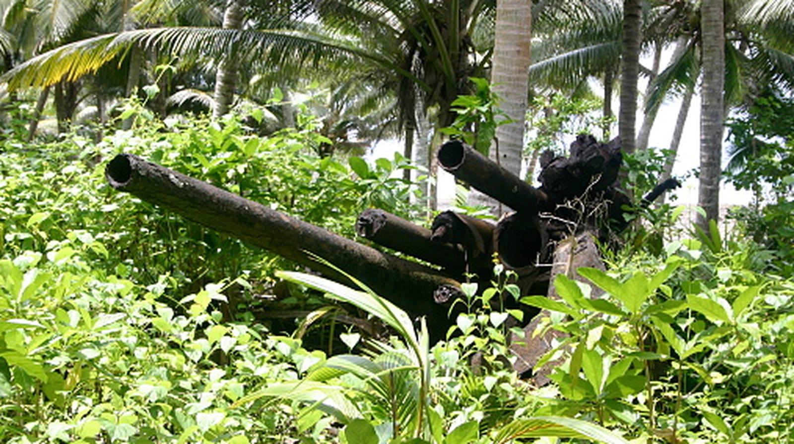
Шинэ технологийн тусламжтайгаар 1943 оны Мунда Пойнтын тулалдааны явцыг сэргээн босгож, сураггүй алга болсон цэргүүдийн мөрийг хайж байна.
Дэлхийн хоёрдугаар дайны түүхэнд бага судлагдсан үйл явдлуудын нэг болох Соломоны арлуудын Мунда Пойнтын тулалдааныг судлаачид LiDAR буюу лазерын тусгал ашиглан илрүүлэгч технологийн тусламжтайгаар судалж эхэллээ. 1943 онд АНУ болон Австралийн цэргийн хүчин “Operation Cartwheel” ажиллагааны хүрээнд Японы нисэх онгоцны буудлыг эзлэхээр тулалдсан бөгөөд энэ нь тухайн үеийн стратегийн чухал алхам байв.
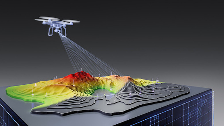
Бингемтоны их сургуулийн судлаачид АНУ-ын Батлан хамгаалах яамны “Defense POW/MIA Accounting Agency” (DPAA)-тай хамтран ажиллаж байна. Тэд дронд суурилуулсан LiDAR төхөөрөмж болон хиймэл оюун ухааныг ашиглан өтгөн ширэнгэн ой, намагт нуугдсан цэргийн байрлал, окоп, явган цэргийн зам болон дайны үеийн ул мөрийг 3D хэлбэрээр дүрслэн харуулж байна.
2026 онд хийсэн судалгааны явцад өргөст тор, бөмбөгдөлтийн ул мөр, цэргийн зориулалтын хийн баг зэрэг эд зүйлсийг илрүүлжээ. Энэхүү технологийн тусламжтайгаар тулалдааны явцыг нарийвчлан тогтоохын зэрэгцээ дайны талбарт амь үрэгдсэн боловч өнөөг хүртэл олдоогүй байгаа америк цэргүүдийн цогцсыг хайж олох, ар гэрийнхэнд нь хүлээлгэн өгөх зорилготой байна.
Судлаачид ирэх долдугаар сард дахин хээрийн шинжилгээний ажил зохион байгуулахаар төлөвлөж байна. Тухайн цаг үед намагт газар хатаж, харагдах орчин сайжирдаг тул булш болон цэргийн байгууламжуудыг илрүүлэхэд илүү дөхөм болох юм.
Дэлгэрэнгүйг эх сурвалжаас харах
Эх сурвалжийг нээх ↓
Nearly 85 years after the U.S. officially entered World War II, several iconic battles remain etched in our collective memory. You likely learned about Pearl Harbor, D-Day, and the Battle of Iwo Jima at school, but you may have never heard of the assault on Munda Point in New Georgia.
Munda Point is located on the tip of the island of New Georgia, which is part of the Solomon Islands in the South Pacific. In 1943, American and Australian troops under the leadership of General Douglas MacArthur fought to expel Japanese forces from New Guinea. An important step in the campaign was capturing the New Georgia Island group, including a Japanese airbase on Munda Point. This attack, part of an overall campaign dubbed Operation Cartwheel, has been largely overshadowed by more high-profile operations in the Pacific. It took several months, but Allied forces eventually seized the airfield. The Japanese withdrew, but 23 Americans died in the battle. Little is known about exactly how the battle played out, but researchers are hoping to change that with the help of LiDAR technology.
LiDAR, which stands for Light Detection and Ranging, uses laser pulses that reflect off the ground to “see” through layers of vegetationand create3D images of the topography underneath. An anthropology professor and a geography professor from Binghamton University in New York are using drone-mounted LiDAR hand-in-hand with artificial intelligence and old-fashioned field archaeology to find remnants of the war. The hope is that they can learn about troop formations and maneuvers, potentially even finding those missing Americans to bring them home.
What LiDAR found at Munda Point
Eriksvoboda/Getty Images
Radar may have changed the course of World War II, but LiDAR is helping reconstruct battles and potentially bring home Americans who remain missing. Binghamton University made its third expedition in 2026in partnership with the Defense POW/MIA Accounting Agency (DPAA), whose mission is “to provide the fullest possible accounting for our missing personnel to their families and the nation.” Nearly 72,000 Americans killed in World War II remain unaccounted for. Every year, DPAA conducts multiple investigations at World War II sites around the world, striving to find additional missing soldiers.
The landscape in New Georgia is challenging, consisting of jungle, swamps, and lagoons that has been virtually untouched since World War II. Before the expedition, the team studied documentation from the battle and used AI to help organize these accounts. This helped them reconstruct various positions during the battle and plan which locations they wanted to take a closer look at.
Once on site, the team used LiDAR to survey the area where one of the largest battles took place, looking for gun placements, foxholes, and foot trails that were used in 1943. Researchers identified barbed wire fences, bomb craters, and even gas masks. They did not find any battlefield burial sites, but they scouted locations that they hope to survey or excavate in the future. Researchers want to return for another expedition in July, which is the month the battle took place in 1943, as paths and burial sites may be more evident that time of year because the swamplands are a bit drier.

