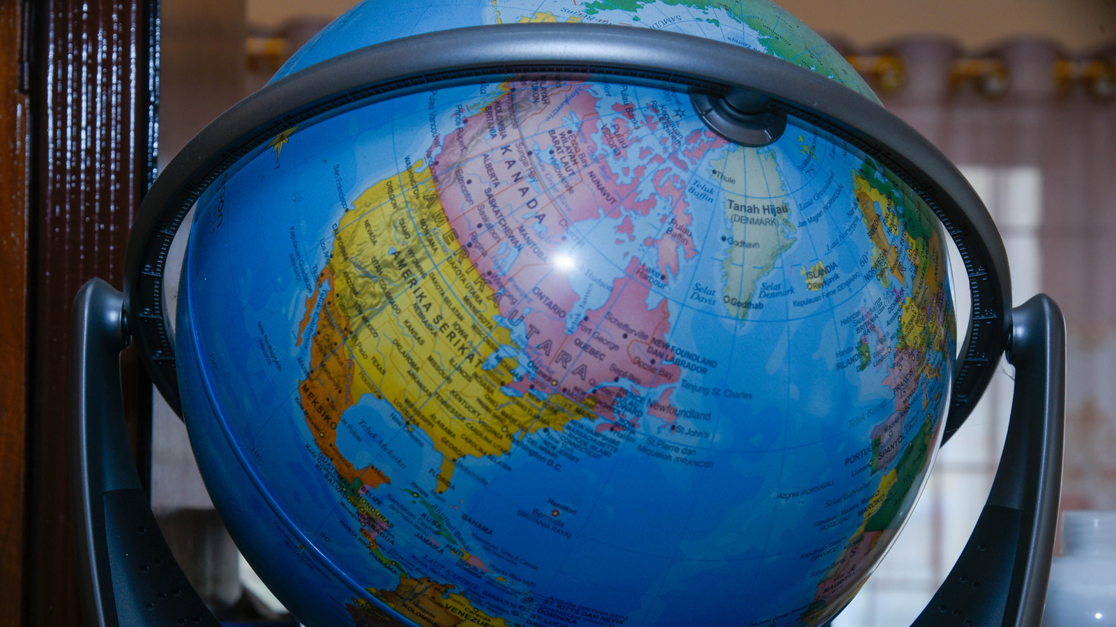
Дэлхий даяарх агаарын болон далайн тээвэрт нэгж хэмжүүр болгон далайн милийг ашиглах нь олон улсын стандарт болсон бөгөөд энэ нь дэлхийн гадаргуугийн муруйлтыг тооцоолоход хамгийн оновчтой систем юм.
Далайн миль (NM) нь далай тэнгисээр аялахад анх үүссэн бөгөөд хожим нь нисэх салбарт өргөнөөр нэвтэрчээ. 1927 онд Чарльз Линдберг Атлантын далайг гатлах нислэгтээ энэхүү хэмжүүрийг амжилттай ашигласан нь нисэхийн салбарт уг стандартыг бэхжүүлж, өнөөдөр нисгэгчдэд түлшний зарцуулалтаа илүү нарийвчлалтай тооцоолох боломжийг олгож байна. 1929 онд Монакод болсон Олон улсын гидрографийн бага хурлаар нэг далайн милийг 1,852 метр буюу өргөрөгийн нэг минуттай тэнцүү байхаар албан ёсоор тогтоосон байдаг.
Олон улсын иргэний нисэхийн байгууллага (ICAO) болон Олон улсын далайн байгууллага (IMO) нь навигацийн аюулгүй байдлыг хангах үүднээс далайн милийг дэлхий даяар мөрдөх стандарт болгон шаарддаг. АНУ 1954 онд, Их Британи 1970 онд уг стандартыг албан ёсоор хүлээн зөвшөөрсөн түүхтэй.
1947 онд ICAO хэмжилтийн нэгжийг стандартчилах тогтоол гаргаж, метрийн системд суурилсан Олон улсын нэгжийн системийг нэвтрүүлэхийг зорьсон ч далайн миль болон зангилаа (knot) нэгжүүд өнөөг хүртэл нисэх болон далайн салбарт гол хэмжүүр хэвээр байна. Хэдийгээр “далайн километр” гэх ойлголт байдаггүй ч энэхүү нэгж нь GPS-д суурилсан орчин үеийн навигацийн системийн салшгүй хэсэг болсоор байна.
Дэлгэрэнгүйг эх сурвалжаас харах
Эх сурвалжийг нээх ↓
A nautical mile (NM) is most commonly associated with traveling through water,as is usingknots to determine boat speed. However, both are used in airplanes, too.NMs areused to navigatethe open skies and vast oceansbecause they account for the Earth’s curvature.Once air travel became a reality, the industry quickly discovered that the system sailors used worked just as well for pilots.When Charles Lindbergh successfully used it to navigate his transatlantic flight in 1927, he cemented its future use.Today, they help give pilots a moreaccurate idea of how muchfuel they will consume.
When ancient mariners began spreading out across the globe, they discovered the Earth’s round shape posed a problem for accurately measuring distances. The creation of longitude, latitude, and coordinates fixed that problem. Throughout much of that seafaring history, one nautical mile was only defined as one minute arc of latitude along any line of longitude.In 1929, the First International Extraordinary Hydrographic Conference was held in Monaco, and the NM was set to exactly 1,852 meters, which equated to the rather clumsy distance of 1.151 miles or 6,076 feet. In constrast,a “statute mile” is 5,280 feet.
Longitude and Latitude and nautical miles, oh my!
The nautical mile not only makes flight safer but also supports modern GPS-based navigation. Both the International Civil Aviation Organization (ICAO) and the International Maritime Organization (IMO) require the use of nautical miles as a global standard for ships and aircraft. Interestingly, the U.K. didn’t adopt the international nautical mile until 1970, while the U.S. did so in 1954. If you’re wondering, there’s no such thing as a “nautical kilometer,”as the globally agreed-upon international distance was set using kilometers, not miles, even though the term “mile” is used in the name.
Back in 1947, the ICAO passed a resolution to standardize the unit of measure and even created something called the International System of Units. Based on the metric system, the idea was to phase out the use of “nautical mile” and “knot” (equal to 1 NM/h) in a slow, deliberate manner so as not to rock the boat. Oddly, the system was adopted in 1960 by the 11th General Conference on Weights and Measures (CGPM), but not by theglobal aviation or naval industries. As of this writing, the nautical mile still wasn’t part of the system. Although “M,” “NM,” “Nm”, and “nmi” have all been used interchangeably over the years, no agreed-upon standard has been established.

