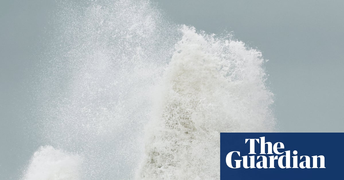
Цаг уурын байгууллагаас хойд бүс нутгуудад хүчтэй салхи, аадар бороо орохыг анхааруулж, аюулгүй байдлын улбар шар түвшний сэрэмжлүүлэг зарлалаа.
Их Британид энэ улирлын хоёр дахь томоохон шуурга болох “Boelo” хүрэлцэн ирж байгаатай холбогдуулан хойд нутгуудад агаарын тээвэр болон эрчим хүчний сүлжээнд саатал үүсэж болзошгүй байна. Тус шуурга нь цагт 80 миль хүртэлх хурдтай салхи, хүчтэй аадар бороог дагуулах төлөвтэй байгаа бөгөөд “Met Office” байгууллага иргэдийг гэрээсээ гарахгүй байхыг зөвлөжээ. Өмнө нь баасан гарагт тохиосон “Austen” шуурганы улмаас Английн баруун өмнөд хэсэгт олон мянган өрх цахилгаангүй болсон юм.
Цаг уурын албанаас Шотланд, Английн хойд хэсэг болон Умард Ирландын зарим бүс нутагт бямба гарагийн оройноос эхлэн 24 цагийн турш үргэлжлэх улбар шар түвшний сэрэмжлүүлэг гаргав. Үүний зэрэгцээ тус улсын хойд хэсгээр бямба гарагийн үдээс хойш эхлэн ням гарагийн орой хүртэл шар түвшний сэрэмжлүүлэг хүчинтэй байна. Тээврийн компаниуд төмөр зам болон гатлага онгоцны үйлчилгээнд саатал гарч болзошгүйг анхааруулж, шаардлагагүй тохиолдолд зорчихгүй байхыг уриалжээ.
Энэ оны зуны улиралд Их Британид түүхэн дэх хамгийн халуун цаг агаар ажиглагдаж, олон удаагийн гал түймэр гарсан нь уур амьсгалын өөрчлөлттэй холбоотойг шинжээчид онцолж байна. Британийн Ерөнхий сайд дэлхий дахинд урьдчилан таамаглах боломжгүй байгалийн үзэгдлүүд байнга тохиолдох болсныг тэмдэглээд, өвлийн улиралд үер усны аюул нэмэгдэж болзошгүйг анхааруулсан байна.
Дэлгэрэнгүйг эх сурвалжаас харах
↓Эх сурвалжийг нээх ↓
The UK is bracing for a second storm this weekend, as strong winds and heavy rain are expected to disrupt travel and cause further power cuts in the north.
Storm Boelo, the second named storm of the season, is expected to bring heavy, frequent showers and winds potentially exceeding 80mph to northern parts of the UK.
Thousands of homes in the south-west of England have already been left without power after Storm Austen hit the region on Friday.
The Met Office has advised people to stay indoors as much as possible and said the storm will bring danger to life from flying debris and crashing waves.
The forecaster has issued an amber alert, its second most severe weather warning, covering Scotland, the north of England down to Carlisle from 9pm Saturday to the same time on Sunday. Another amber warning is also in place for the north-east of Northern Ireland from 9pm Saturday to 10am Sunday.
A large yellow warning for very wet and windy weather will cover the whole of the UK’s north from midday Saturday to 9pm on Sunday. Another warning for heavy rain covers Wales and parts of western and southern England from 11am to 11pm Saturday.
Widespread travel disruption is expected on ferries and trains. TransPennine Express has warned against making all but essential train journeys on Saturday and Sunday, while Avanti West Coast has strongly advised users not to travel north of Preston on Sunday.
The Met Office has also warned that power cuts across the south-west of England could be replicated across amber areas in the north this weekend.
In the south-west of England, 31,000 homes were without power at one stage on Friday. More than 3,700 were still without electricity on Saturday morning, according to the National Grid map.
Human-driven climate change has continued to reshape rainfall patterns and weather conditions globally. The UK experienced its hottest summer on record this year, with five heatwaves and a record-breaking 40 days of temperatures above 30C.
The Met Office meteorologist Alex Burkill said: “Storm Boelo is arriving. It’s going to bring widespread rain and some very strong winds indeed, and it’s quick on the tails of Storm Austen which is now clearing away towards the east.
after newsletter promotion
“It’s the winds that were perhaps most concerned about, they’re really going to whip up some strong gusty winds across Northern Ireland, northern parts of England and also Scotland through the day – strengthening as we head towards the evening.
“Temperatures will be a little more than the seasonal average but obviously with the wind and rain it’s going to feel pretty unpleasant out there,” Burkhill added. “A very, well, different side of autumn compared with what we’ve seen through much of the season so far.”
Storm Boelo’s winds are expected to peak from Saturday evening. The wet weather will clear overnight in many areas, while more rain continues to hit Scotland and northern Ireland.
Attending a summit on the summer’s record wildfires on Friday, Andy Burnham warned that the UK could face “a winter of greater flooding”.
The prime minister denied suggestions that the government was playing catch-up with civil preparedness, but said “we’re living in a world where unexpected events seem to be becoming more and more common”.