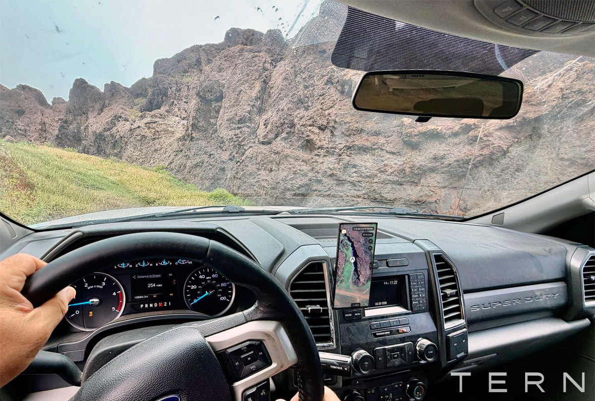
Остин хотод төвтэй Tern стартапын боловсруулсан байлдааны зориулалттай навигацийн системийг АНУ-ын армийн тээврийн хэрэгслүүдэд нэвтрүүлэхээр болжээ
Остин хотод төвтэй Tern стартап нь АНУ-ын армитай 11.26 сая долларын өртөг бүхий гэрээ байгуулж, GPS-ээс хамааралгүй навигацийн технологио нийлүүлэхээр боллоо. “Байлдааны талбарт зориулсан Google Maps” хэмээн тодорхойлж буй энэхүү систем нь GPS-ийн дохио алдагдах, саатуулах эрсдэл өндөр нөхцөлд тээврийн хэрэгслийн байршлыг бие даан тодорхойлох боломжийг олгодог.
Тус технологи нь тээврийн хэрэгслийн оношилгооны системээс ирж буй мэдээллийг ашиглаж, “edge processing” буюу төхөөрөмж дээр суурилсан боловсруулалтын тусламжтайгаар байршил болон маршрутыг тооцоолдог байна. Tern компанийн гүйцэтгэх захирал Шон Мур болон үүсгэн байгуулагч Бретт Харрисон нарын мэдээлснээр, уг систем нь тээврийн хэрэгслийн өгөгдлийг идэвхгүй горимоор хүлээн авч, тусгай алгоритмын тусламжтайгаар нарийн байршил тогтоодог хаалттай систем юм.
Сүүлийн үед Ойрхи Дорнод болон Украин, Оросын бүс нутагт GPS-ийн дохиог санаатайгаар саатуулах үйлдэл нэмэгдэж байгаа нь цэргийн зориулалттай, найдвартай навигацийн технологийг эрэлхийлэхэд хүргэжээ. Энэхүү шийдэл нь уламжлалт GPS тасрах үед ч ажиллагаагаа хэвийн үргэлжлүүлэх чадвартай тул дайсны зүгээс дохиог саатуулахад илүү тэсвэртэй гэдгээрээ онцлог юм.
Тус компани нь уг технологийг зөвхөн туршилтын төсөл бус, бодитоор ашиглах боломжтой, өргөжүүлэхүйц систем болгоход анхаарлаа хандуулсан гэдгийг үүсгэн байгуулагчид онцоллоо. Тухайлбал, Бретт Харрисон АНУ-ын Остин хотоос Калифорни хүртэлх 1,300 милийн аяллын туршид уг системийг ашиглахад GPS-ийн дохио олон удаа тасарсан ч Tern-ийн технологи байршлыг нэг ч удаа алдаагүй байна.
Дэлгэрэнгүйг эх сурвалжаас харах
↓Эх сурвалжийг нээх ↓
Austin-based Tern has won a contract from the U.S. Army to deploy the startup’s low-cost GPS alternative tech.
The $11.26 million contract will see the Army use Tern’s navigation tech in vehicles, though the startup was tight-lipped on the exact scale of the deployment of what it calls “Google Maps for the battlefield.”
The Army is tapping Tern at a time when GPS disruptions are on the rise, especially in the Middle East and in the skies above Ukraine and Russia. The U.S. military itself has reportedly been experimenting with GPS jamming, which may have even contributed to the deadly crash of a medevac plane earlier this year. There have been multiple efforts from Congress and President Trump (during his first term) to develop resilient, non-GPS navigation technologies for military use.
Modern vehicles generate all kinds of data while driving, and Tern’s whole tech stack is oriented around using some of that information to navigate without GPS.
“We’ve got a device that plugs into the diagnostics board of the vehicle, wired to a tablet, and then that tablet is the interface for the soldier to use, and we provide both the position and navigation and routing there for the soldier,” Tern co-founder and CEO Shaun Moore said in an interview.
Moore said Tern is “passively listening to” this information and not disrupting its flow in any way. Tern then uses “proprietary methods” to make the information usable for navigation. (He declined to go into specifics.)
“There is quite a bit of work that was done to get it to the point where we can just receive that information and then output latitude / longitude, so big effort by our team,” he said.
All this allows a vehicle to essentially determine its own position independently, using edge processing, which is helpful both on- and off-road, in tunnels or in deserts. Moore’s co-founder Brett Harrison even recently used it to navigate a 1,300-mile drive between Austin and Laguna Beach, California. He said Tern’s tech never lost his vehicle’s place during the whole trip, while traditional GPS cut out dozens of times.
Another aspect of Tern’s tech that may be just as important as accurate positioning is that it’s a closed system. This means it is not just a backup, it’s actually harder for adversaries to disrupt it.
“I don’t know that there is broad awareness on the fragility of the [GPS] system from a consumer standpoint,” Moore said. “I think people just see the blue dot on their phone and say it will always be there because it’s there now, right? Why wouldn’t it be there?”
As a military vet himself, Harrison said the Army contract is validating after Tern spent years proving that its tech works. He said his time in Afghanistan as part of a special operations task force is a big part of where the desire to solve this problem came from.
“From the very foundation of when we decided to embark upon this effort, we recognized it has to be actually deployable, actually scalable, and not a science project,” he said. “We weren’t interested in just seeing what we could prove. We wanted to make sure it actually was something that could get into the wild and serve a purpose”
When you purchase through links in our articles, we may earn a small commission. This doesn’t affect our editorial independence.

