Эртний Ромын эзэнт гүрний үед Ром хотоос илүүтэй холбоо харилцааны хувьд давуу талтай хотууд байсныг археологийн шинэ судалгаа тогтоожээ.
Дани улсын Орхусын их сургуулийн профессор Том Бругманс болон түүний баг “Itiner-e” нэртэй дижитал атласыг ашиглан Ромын эзэнт гүрний 300,000 км үргэлжлэх авто замын сүлжээг судалжээ. Судалгаагаар өнөөгийн Турк улсын нутагт байрлах Антиох, Анкара, Византи болон Грекийн Коринф хотууд нь хуурай замын харилцааны хувьд Ром хотоос илүү тохиромжтой байршилтай байсныг тогтоов. Эзэнт гүрний хамгийн чухал дамжин өнгөрөх гол зам нь бүр Ром хотыг дайралгүйгээр Хойд Африк, Левантын эргээр дамжин Константинополь, улмаар Италийн По хөндий, Милан хүрдэг байжээ.
Ром хот нь Италийн хойгийн төгсгөл хэсэгт байрладаг тул эзэнт гүрний авто замын сүлжээний гол цэг байхад тохиромжгүй байсан аж. Судлаачдын үзэж буйгаар Ром хот нь авто замын сүлжээнээс илүүтэй Газар дундын тэнгисийн далайн тээврийн гол зангилаа байсан нь түүнийг эзэнт гүрний чухал төв байх боломжийг олгосон байна.
Энэхүү судалгаа нь эртний түүхэн дэх тээвэр, харилцааны сүлжээг илүү гүнзгий ойлгоход чухал ач холбогдолтой юм. Цаашид эрдэмтэд авто замын сүлжээг далайн болон гол мөрний тээврийн системтэй нэгтгэн судлах нь Ромын эзэнт гүрний тээврийн бүтэц, зохион байгуулалтыг илүү тодорхой болгоно гэж үзэж байна.
Дэлгэрэнгүйг эх сурвалжаас харах
↓Эх сурвалжийг нээх ↓
The saying that “all roads lead to Rome” may be famous, but a new study finds it’s far from true. Extensive new research of the Roman Empire’s road system reveals that several other Roman cities were better connected than the Eternal City was during antiquity.
Major cities like Antioch, Ancyra (modern-day Ankara) and Byzantium in what is now Turkey, as well as Corinth in Greece, were “better located than Rome” for those traveling by land, the team wrote in a paper published Tuesday (Sept. 15) in the journal Nature Communications.
At its height in A.D. 117, the Roman Empire covered almost 2.1 million square miles (5.5 million square kilometers) around the Mediterranean Sea, occupying much of Europe, the Middle East and North Africa, the team noted in the study.
For years, the scientists have been creating a vast digital atlas called “Itiner-e” of nearly 186,000 miles (300,000 kilometers) of Roman roads. For the new study, they calculated how well Roman cities were connected to the road system.
In fact, the empire’s “most important intermediary route” by land identified in the study didn’t even run through Rome.
“It follows the North African and Levantine coast past Antioch and near Ankara, crosses over to Europe at Constantinople, and moves through the Po Valley and Milan into France,” study co-author Tom Brughmans, a professor of classical archaeology at Aarhus University in Denmark, told Live Science in an email.
The other well-connected cities had a bevy of reasons for their numerous roads. For instance, Corinth was better connected to the road network because the roads that ran through it linked the Greek Peloponnesian Peninsula to the rest of Greece, and Ancyra was better connected because it was a vital transportation hub for Anatolia.
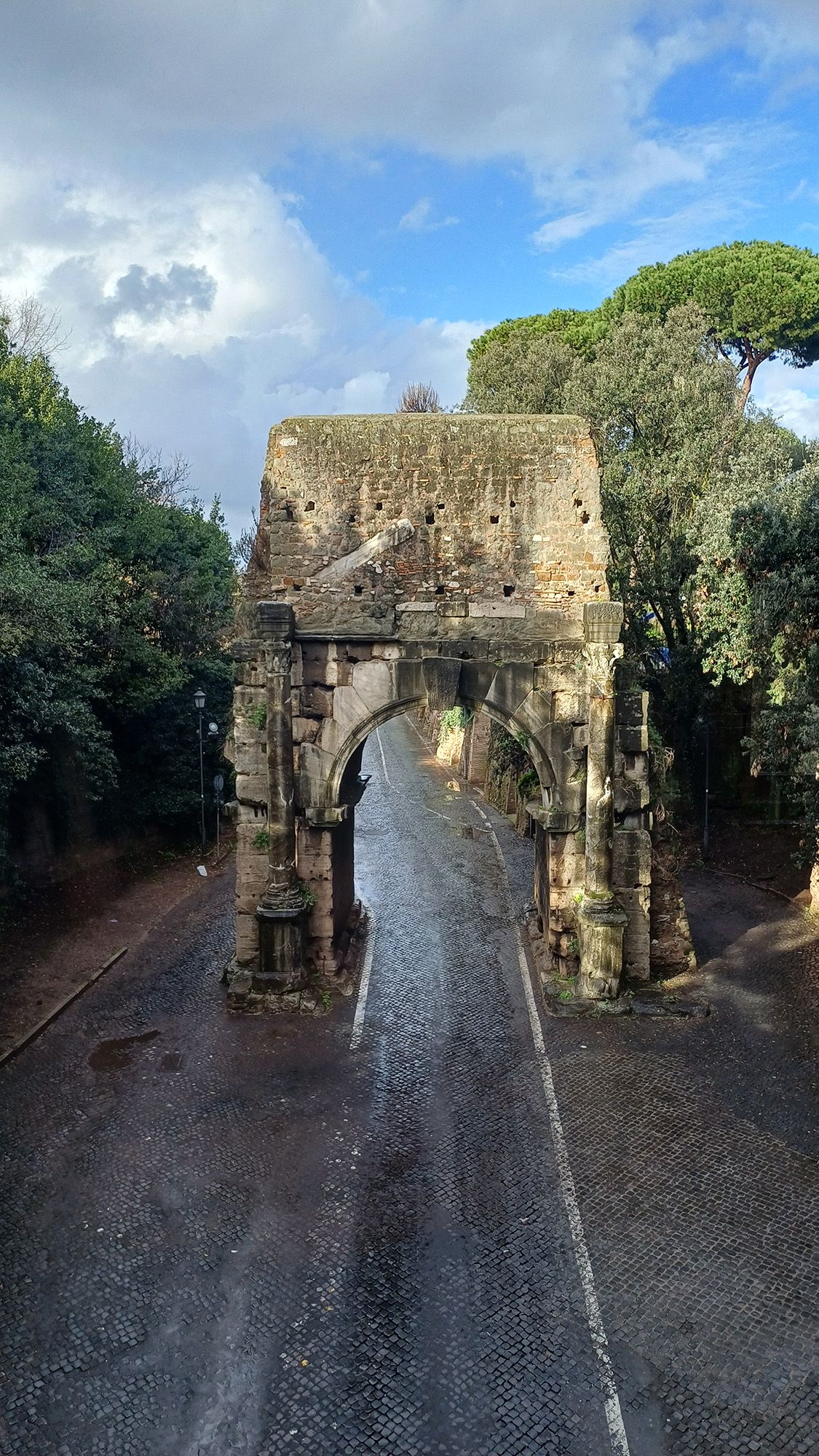
Rome’s unique location is likely the biggest reason why it wasn’t as well connected to the road system as these other cities.
Brughmans noted that the “Italian Peninsula is an appendix to the empire’s road network, and Rome is halfway down this appendix.” And when “we consider all movement within the entire Italian Peninsula, we were shocked to discover that the most central road actually follows the opposite Adriatic coastline, bypassing Rome altogether,” Brughmans added.
The study also found that when the shape of the land allowed it, Roman roads tended to be straight, but they were not as straight as modern-day roads.
Today, “modern road building avoids sharp turns and aims to build as straight roads as possible by strongly modifying the terrain to facilitate faster travel by car, which is made possible by modern surveying and construction methods,” the team wrote in their paper.
Sea and river connections
Although the new research sheds light on road connections, it’s important to remember that road travel wasn’t the only means of transport in the Roman Empire. In fact, the researchers noted that Rome may have had a more significant position for sea and river transportation than it had for road transportation.
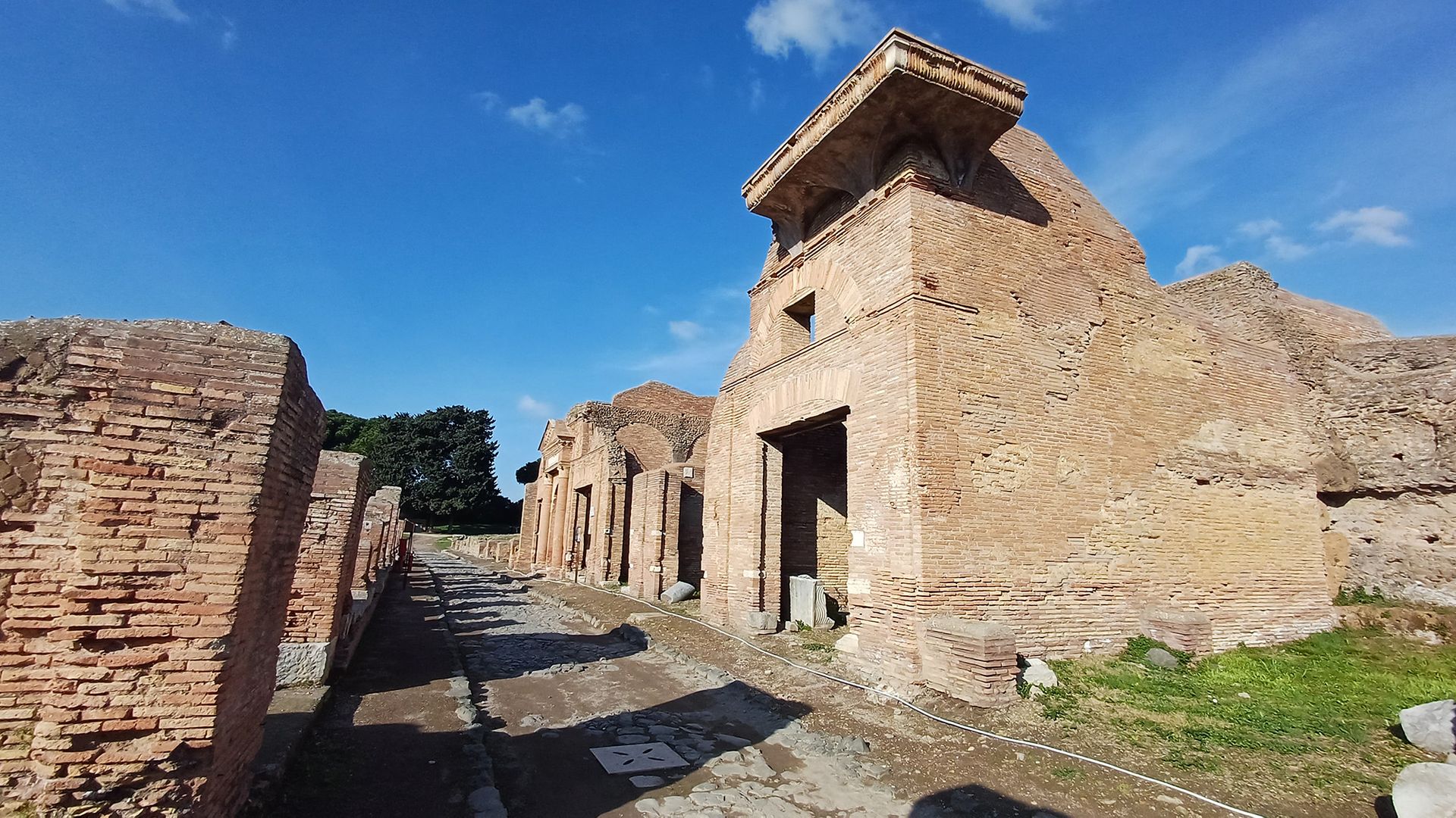
Although the study didn’t look at waterways, Rome’s central location in the empire meant that it would have been an important hub of water transport, the team wrote in the study.
“Rome’s central location is not due to its roads, but its physical location in the centre of the Mediterranean, on the nexus of major shipping lanes,” Brughmans explained.
The team said future studies should examine sea and river transport and integrate their findings with the team’s Roman roads study. When considered together, road and waterway routes may help researchers better understand Roman transportation networks.
Pažout, A. et al. (2026). Network science reveals the structure and lasting impact of the Roman road system. Nature Communications, 17(9551). https://doi.org/10.1038/s41467-026-75453-3
From Augustus to Nero, see how much you know about ancient Rome’s famous leaders with our Roman emperor quiz!

