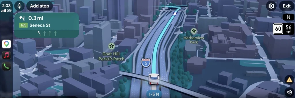
Google компани Android Auto платформдоо зориулсан “Immersive Navigation” буюу бодит орчинтой хослуулсан навигацийн шинэ боломжийг танилцууллаа.
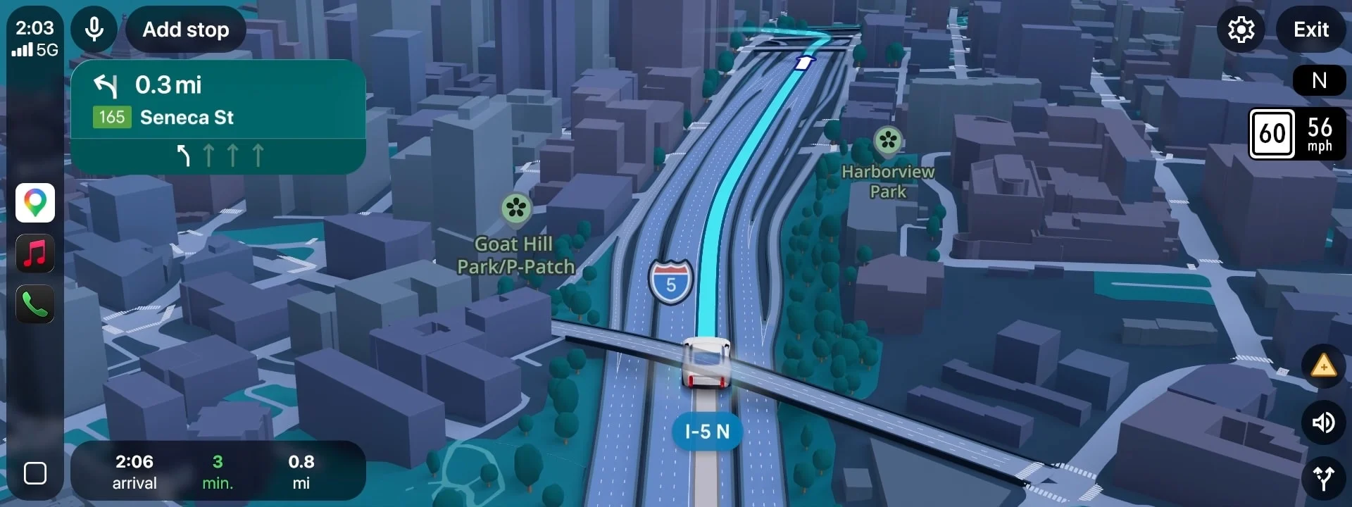
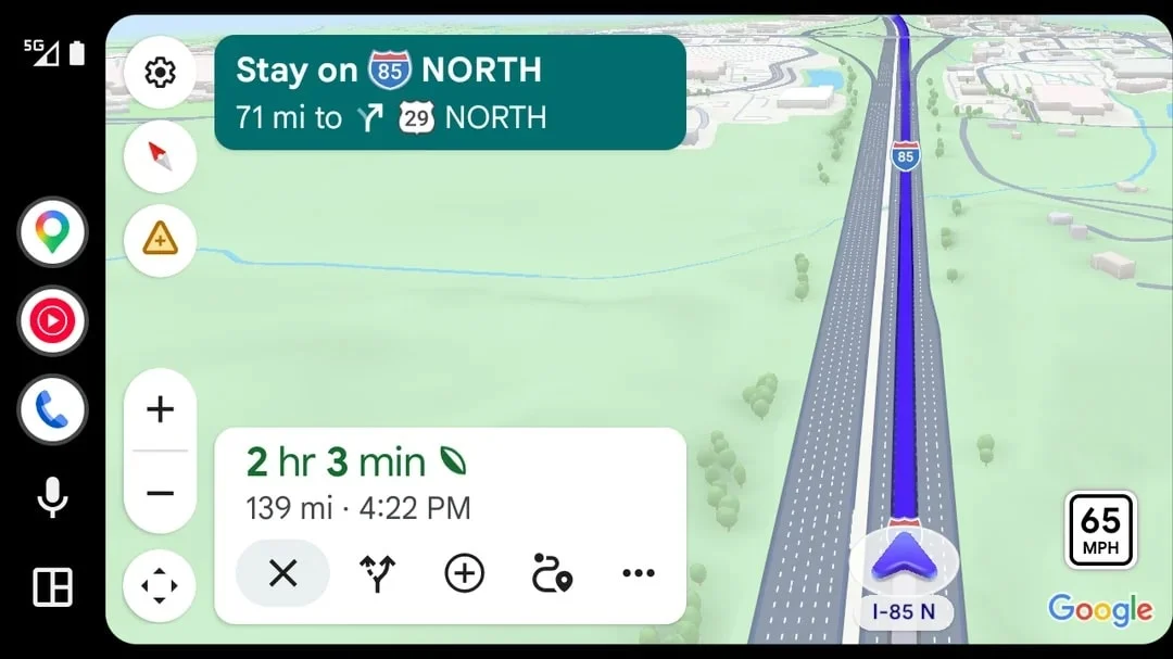
Сүүлийн арван жилд хийгдсэн хамгийн том шинэчлэл гэгдэж буй энэхүү функц нь уламжлалт 2D газрын зургийг 3D дүрслэлээр сольж байна. Шинэчлэлийн хүрээнд Google Maps нь хиймэл дагуулын зураг болон Street View технологийг нэгтгэснээр барилга байгууламж, зам, тэмдэг тэмдэглэгээг илүү бодитоор харуулах юм. Жолооч нарт илүү ойлгомжтой байх үүднээс өндөр барилга зэрэг харагдах орчныг хааж болзошгүй объектуудыг шаардлагатай үед ил тод (translucent) болгох автомат системийг нэвтрүүлжээ.
Энэхүү шинэчлэл нь Android Auto 17.3 хувилбарт багтаж байгаа боловч хэрэглэгчдэд шууд идэвхжихгүй. Google компани үүнийг сервер талдаа хэсэгчлэн идэвхжүүлж байгаа бөгөөд одоогоор АНУ-ын зах зээлд тэргүүн ээлжид нэвтрүүлж байна. Бусад бүс нутагт уг шинэчлэл аажмаар хүрнэ гэж албаныхан мэдээллээ.
Технологийн дэвшил болон хот байгуулалтын хурдацтай өөрчлөлтөөс үүдэлтэй зөрүүг арилгах нь энэхүү шинэчлэлийн гол зорилго юм. Навигацийн аппликейшнд хэт найдах нь жолооч нарт төөрөгдөл үүсгэдэг асуудлыг шийдвэрлэхийн тулд бодит байдалтай илүү нийцсэн, нарийвчлалтай мэдээллийг хүргэхээр зорьжээ.
Дэлгэрэнгүйг эх сурвалжаас харах
↓Эх сурвалжийг нээх ↓
Google Maps is getting a major upgrade, probably the biggest and most important in years, and it’s already appearing on the Android Auto app.
The new upgrade will bring cosmetic changes that will make a practical difference.
With the new update, technology will essentially do a better job of matching human psychology.
It is already available, but not for everyone.
Meet ‘Immersive Navigation’
Google is transforming both Maps and therefore Android Auto.
The tech giant has officially begun rolling out a major visual upgrade to its navigation platform, introducing a highly anticipated feature known as Immersive Navigation.
Described by the American company as one of its ‘most substantial navigation overhauls’ in a decade, the update mainly shifts the application away from flat 2D mapping toward data-driven 3D maps.
Google Maps will now combine Street View and satellite imagery.
Instead of viewing simple geometric lines, drivers will see a 3D version of what they’re seeing with their own eyes, with buildings, structures, signs, and local businesses.
If I’ve got a massive building with a very specific shape in front of me – for example, one of the major hotels in Las Vegas or maybe the unmistakable Flatiron Building in NYC – my eyes know exactly what I’m looking at, but sometimes the building might look just like any other structure in the app.
This can be deceiving, because the input sent from our eyes to our brain regarding what we see wouldn’t match what’s being visualized on in the app.
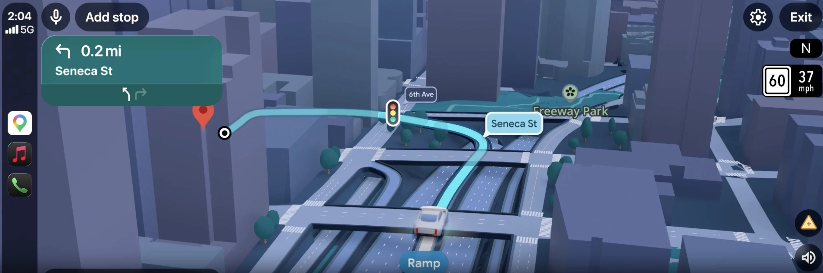
And on that front, Google has also engineered an automated transparency system.
If there’s a massive 3D structure – for example a skyscraper – that visually hides the upcoming turn or an exit ramp, the building will become translucent on the screen.
With the new update, drivers should also be able to match highway lanes, trees, buildings, bridges they see on the road with equivalent digital markers in the app.
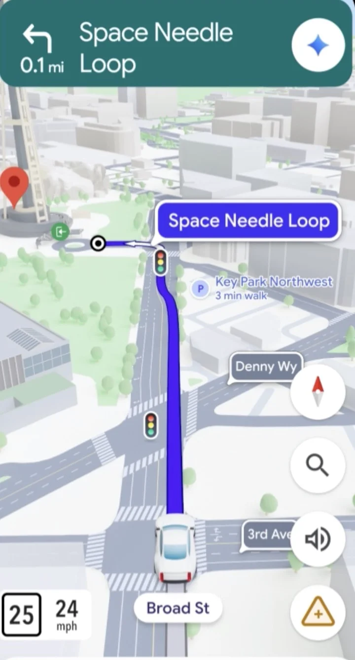
The new Google Maps is already available, but with a catch
Immersive Navigation is available with the new Android Auto 17.3 app update.
However, updating the app won’t be enough because the rollout is happening behind the scenes on Google servers.
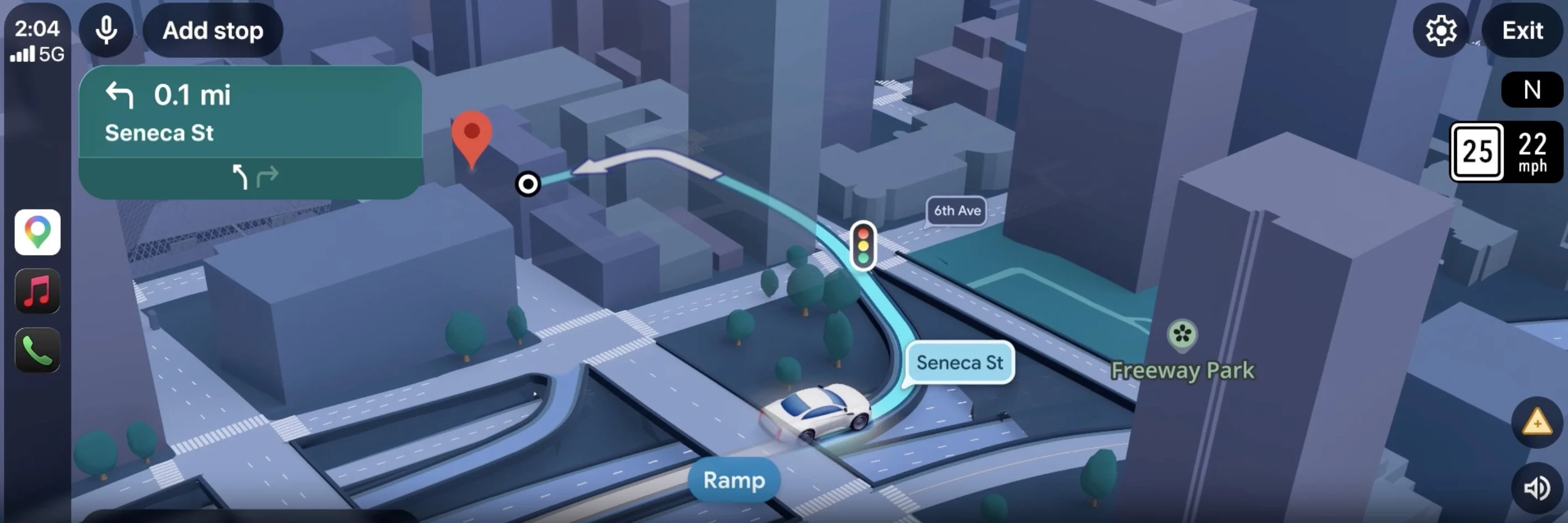
The feature will be activated remotely by the company in waves, which is why some users – depending mainly on their location – may get access to the new version either earlier or later.
The rollout is initially focused on drivers within the United States, which means updates in other markets will probably be a little bit slower.
The main goal is to fix the problem that emerged from a combination of aging technology and rapidly evolving infrastructure.
For a long time, Google Maps was so much better than anything else that there was no competition.
Then other players emerged and, at the same time, several countries and cities began aggressively modifying the landscape with new constructions and new buildings.
Nowadays, it can sometimes take weeks or even days for a building to be completely demolished and cleared out or built up from scratch.
Also, over-reliance on navigation apps often gets people in trouble.
This update aims to fix that problem by making the app more accurate and more realistic.

